

MCC to roll out Rs. 15 crore AI-driven 3D aerial survey project to map properties
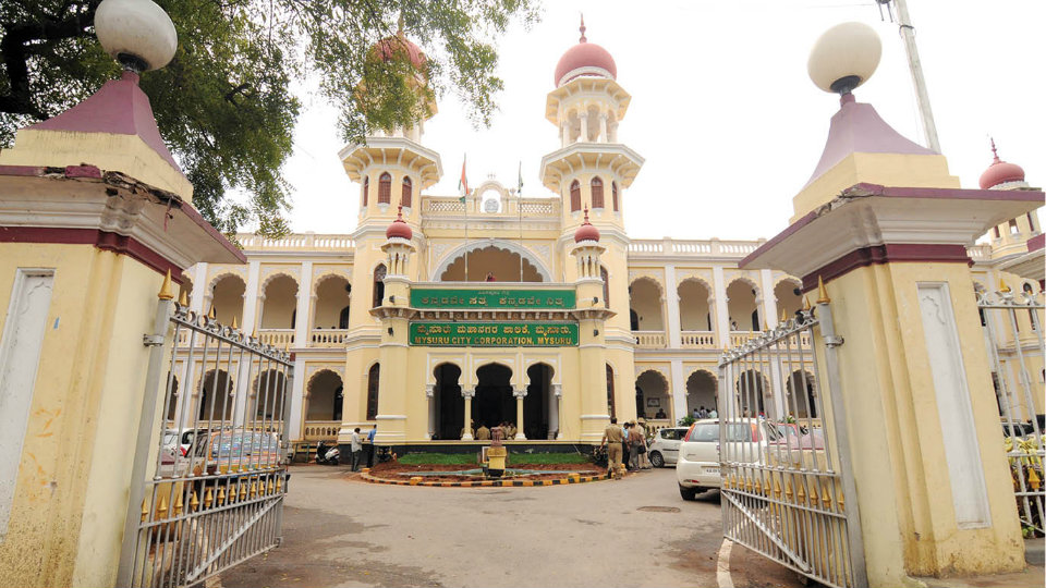
Mysore/Mysuru: The Mysuru City Corporation (MCC) is set to roll out a Rs. 15 crore project to create an AI-driven 3D aerial survey of every property in the Greater Mysuru City Corporation (GMCC) limits using advanced LiDAR (Light Detection and Ranging) and radar technology mounted on drones and aircraft.
The initiative, termed the ‘Digital Twin Model’, aims to bring scientific precision to property mapping and urban planning.
A digital twin is a virtual replica of a real city, built using real-time data from sensors, maps and infrastructure, enabling planners to simulate scenarios such as traffic changes and infrastructure stress and make data-driven decisions.
A pilot survey conducted on Mar. 7 in Santhepet, covering around 500 properties using LiDAR and radar (Radio Detection and Ranging), was successful. Following this, the MCC has decided to extend the project across the entire GMCC region.
DC briefed on the project
This is the first time such a project is being implemented in Karnataka. MCC Commissioner Shaikh Tanveer Asif has briefed Deputy Commissioner G. Lakshmikanth Reddy and obtained oral consent.
Formal approval from the Government is awaited, after which the survey is expected to be completed before the monsoon under the guidance of the Directorate of Urban Land Transport (DULT).
Mysuru has about 2.31 lakh properties, including private houses, institutions, companies and Government offices. So far, property records have remained incomplete, with encroachments and unauthorised extensions persisting despite Urban Property Ownership Record (UPOR) documentation.
The Digital Twin Model is expected to address these gaps by scientifically recording each property’s dimensions, including length, breadth, height and total area, in the MCC database.
The system will also make it easier to detect encroachments. Any deviation, such as extension into a neighbouring property, can be identified by comparing digital twin data with existing records.
The model has already been implemented in cities such as Amaravathi, Varanasi, Pune, Mumbai, Delhi and Ahmedabad. With Mysuru taking the lead, Karnataka joins this list, even as Bengaluru, India’s IT Capital, is yet to adopt the technology.